The run is the easy part. The planning isn't.
Most Bangkok runs are social, and one person ends up as the planner — hunting Google Maps for where to park a few cars, which gate has a toilet, where there's water, where to regroup. The most run-specific answers are exactly the ones Google indexes worst.
Routes ranked on real ground-truth data
Not just distance and elevation. Every route is scored on safety, shade, and sidewalk width — with a coverage rating so you know how much is verified. Browse by distance, or pick a playlist like Shadiest, Safety First, or Finish at a Cafe.
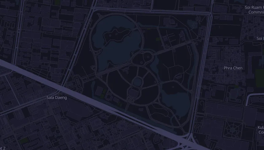
Every stop, in run-order
One card lays out your run start to finish: parking, the toilet at the start, bag lockers, water stops — with a warning when there's a long dry stretch — the cafe at the end, and road crossings to watch. Share it into your LINE or IG group as an image, plain text, or a link.
Already have a route? Drop it in.
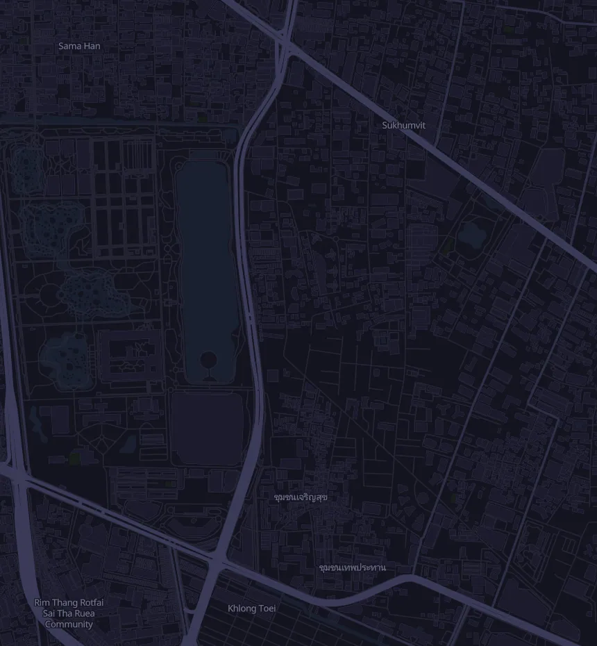
Draw it on the map, upload a GPX, or paste a Strava route. We'll scan the logistics along your line. If we haven't mapped your area yet, we'll tell you honestly — and you can request coverage in one tap.
 Strava · beta
How it works
Why not just Google Maps?
Don't see your route? Tell us.
We hand-map the highest-traffic Bangkok routes first. Tell us where you run and we'll add it — you'll be first to know when it's ready.